
Maine Has Its Own “Grand Canyon,” and the Hike Is Spectacular if you can handle it
Would you like to save this full guide?
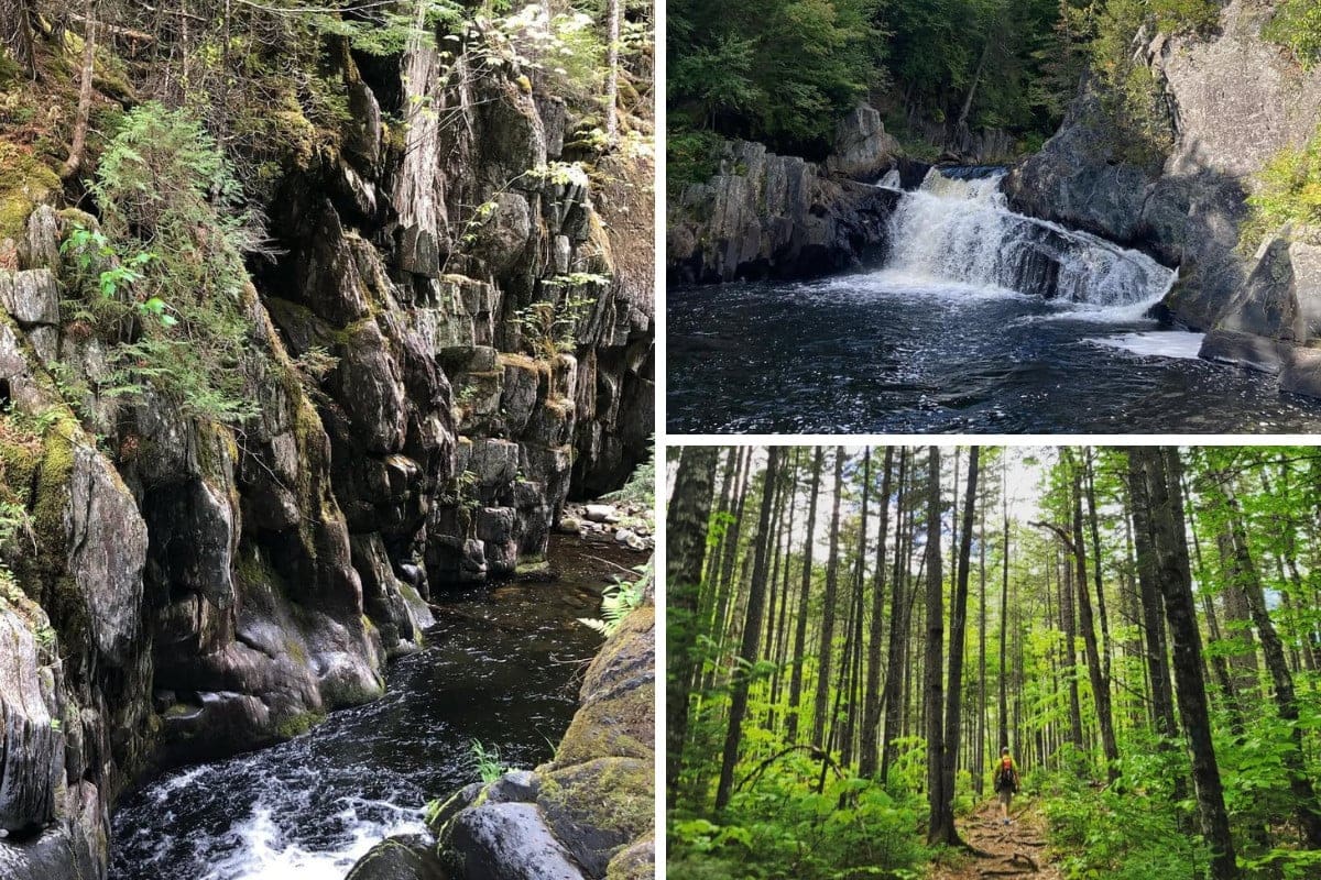
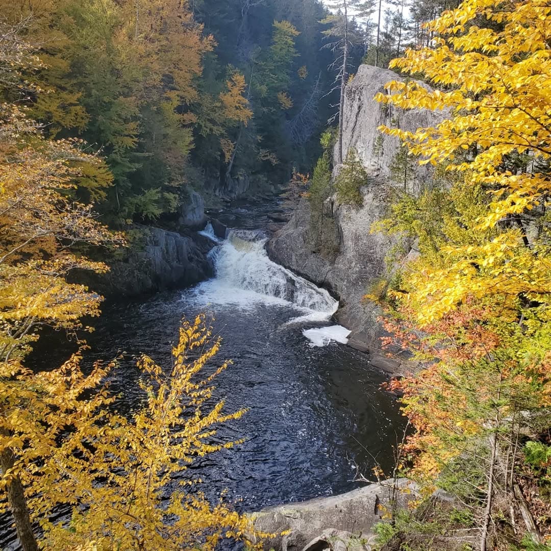
Deep in the 100-Mile Wilderness of Maine, a deep gorge cuts through the woods and overlaps with the Appalachian Trail. Gulf Hagas offers a goldmine of outdoor adventure, with four waterfalls across five miles of rugged terrain.
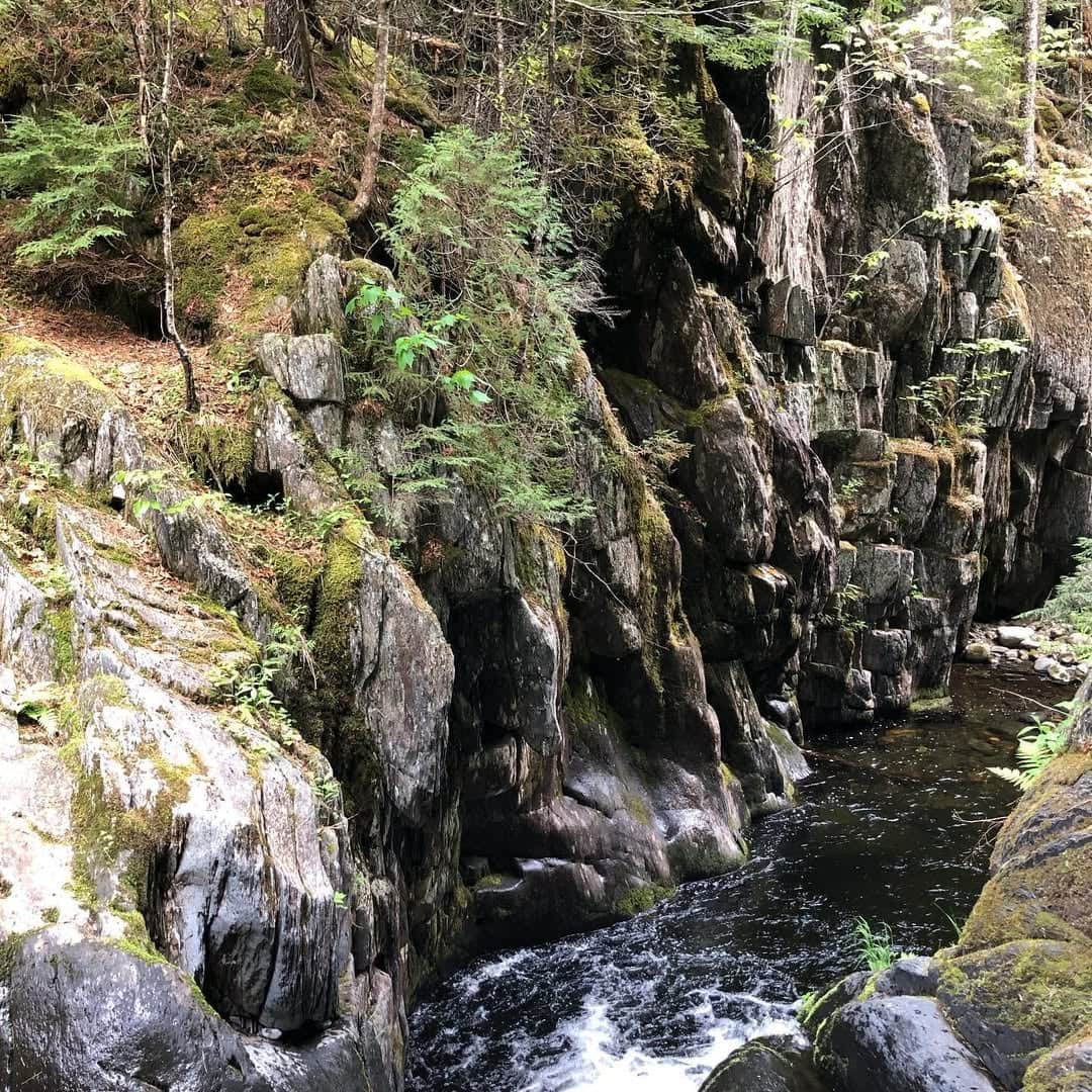
Known as the Grand Canyon of Maine, Gulf Hagas isn’t for the weary. You’ll ford a river, walk on the rim of a 100-foot drop, and see some of the most untouched wilderness the deep woods have to offer.
As a bonus, you don’t have to take the full length of the trail to see some of the stunning waterfalls. You can go as far as your willpower and feet will take you, with jaw-dropping stops (and maybe a moose or two) along the way.
Where Is Gulf Hagas?
Gulf Hagas sits deep in the Maine Highlands, inside the 40,000-acre Katahdin Iron Works region. Here’s a look at the mileage to get to the lower trailhead:
- From Bangor: 65 Miles
- From Portland: 167 Miles
- From Greenville: 18 Miles
- From Millinocket: 40 Miles
Expect the last 10-15 miles, depending on your approach, to be on rough (at times) logging roads. You’ll want a rugged vehicle and emergency supplies since you’ll be in a remote area with no mobile service.
Whether you enter from KI Jo-Mary or Katahdin Iron Works, you’ll pay a gate fee for access. It’s less than $20 for non-Maine residents. Bring cash or a check.
How Gulf Hagas Was Formed
Gulf Hagas was carved by a long, violent relationship between rock, ice, and rushing water. The bedrock here is mostly hard slate and schist, shaped first by tectonic forces that folded and fractured the landscape.
Then glaciers arrived, grinding everything down and leaving behind deep weaknesses in the rock. When the ice finally retreated about 12,000 years ago, meltwater and the newly unleashed Pleasant River rushed into those fractures, cutting deeper and faster over time.
Water exploited every crack, seam, and fault, sculpting the narrow gorge, steep cliffs, and plunge pools you see today. Freeze-thaw cycles widened the rock faces, while constant erosion sharpened drops into waterfalls and chutes.
The result is a three-mile-long canyon that drops 400 feet along the way, with sheer walls, swirling potholes, and powerful cascades that still change slightly every year.
Much like the real Grand Canyon, this is geology in motion.
Where to Start the Gulf Hagas Trail
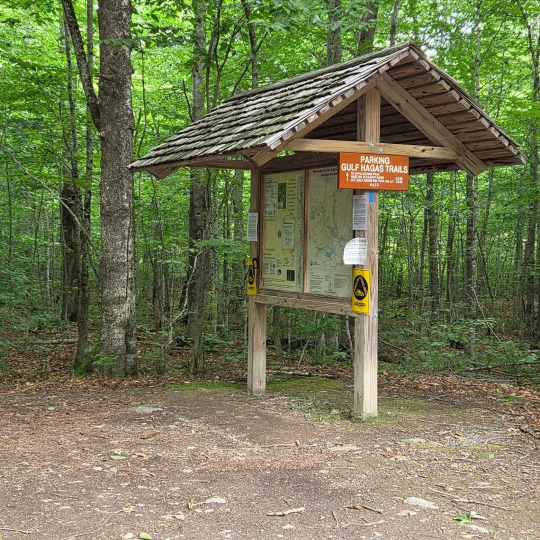
Choose from two ways to approach the Gulf Hagas trail. The most popular is via the Gulf Hagas Lower Trailhead near The Hermitage old growth forest.
The Upper Trailhead will tack on an additional two miles each way, and can be reached from a spot five miles west of the Lower Trailhead parking area.
Let’s look at the pros and cons of each one.
In this article, we’re going to take you through the trail from the Lower Trailhead to the final waterfall. It’s a more immersive experience from start to finish.
How Hard is the Gulf Hagas Hike?
Starting from the lower trailhead at the Pleasant River ford, the hike packs a surprising amount of vertical change into a relatively short distance. Total elevation gain and loss runs roughly 1,000 to 1,200 feet, depending on your exact route. Official ratings put it as moderate to strenuous.
You’ll climb steadily from river level up to the Rim Trail, gaining about 300 to 400 feet fairly quickly. From there, the trail becomes a constant roller coaster, dropping sharply to waterfalls, then climbing back up again, often in 150 to 300-foot bursts. Expect to do some scrambling.

Waterfalls of Gulf Hagas
Since this article is about finding waterfalls, we picked the Gulf Hagas hike because of the numerous sites along the way. While you’ll hear water rushing throughout most of the hike, and even come across smaller falls, these are the doozies.
Screw Auger Falls
Screw Auger Falls is the headliner, and it earns the hype. The water funnels through a tight corkscrew chute, carving deep, swirling potholes into the rock before exploding into a churning pool. In spring, it’s loud, wild, and a little intimidating. In summer, it becomes a front-row seat to geology in motion. The surrounding ledges give you safe vantage points to watch the whole show unfold.
Buttermilk Falls
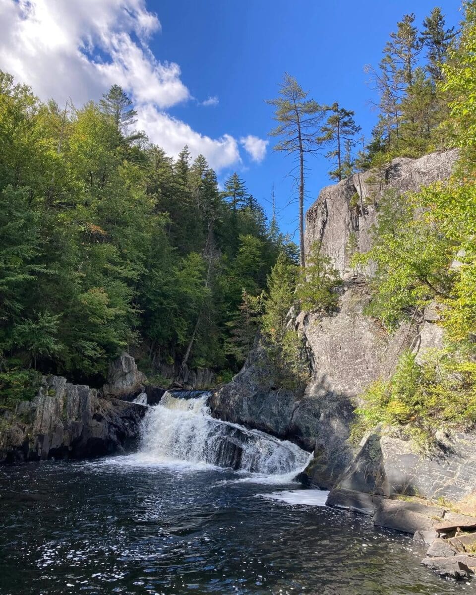
Buttermilk Falls is all about texture and motion. Instead of one dramatic drop, water fans out over smooth granite slabs, creating a frothy, milky cascade that lives up to its name. It feels softer, quieter, and more hypnotic than the thunderous falls nearby. This is the spot where people tend to linger, snack, and take too many photos, especially when the sunlight hits the rushing water just right.
Billings Falls
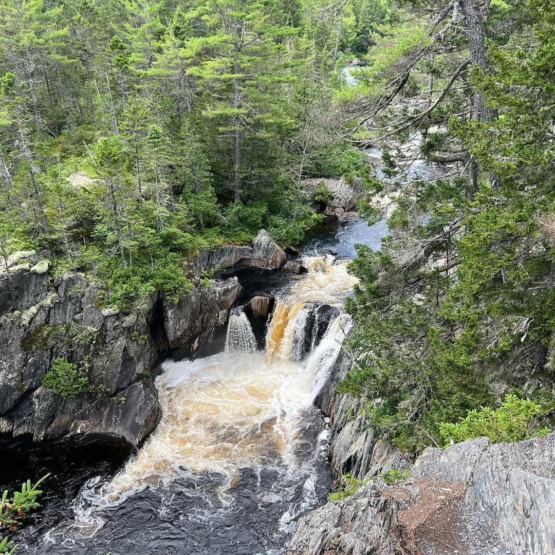
Billings Falls packs a punch in a shorter drop, sending water plunging into a deep, emerald pool framed by steep rock walls. The setting feels secluded and cinematic, like something straight out of a moody adventure film. It’s a favorite swimming hole in warmer months, but even when it’s too cold to jump in, the drama of the surrounding cliffs makes this one of the most striking stops in the gorge.
Stair Falls
Stair Falls looks like a giant stone staircase built for water instead of feet. Multiple wide steps send the river cascading downward in a series of powerful drops, creating nonstop motion and sound. It’s one of the most impressive stretches of the gorge, especially during spring runoff. Wide ledges make it easy to explore different angles.
Other Must-See Sites on the Gulf Hagas Trail
Several other notable spots dot the landscape on the Gulf Hagas hike.
Hammond Street Pitch
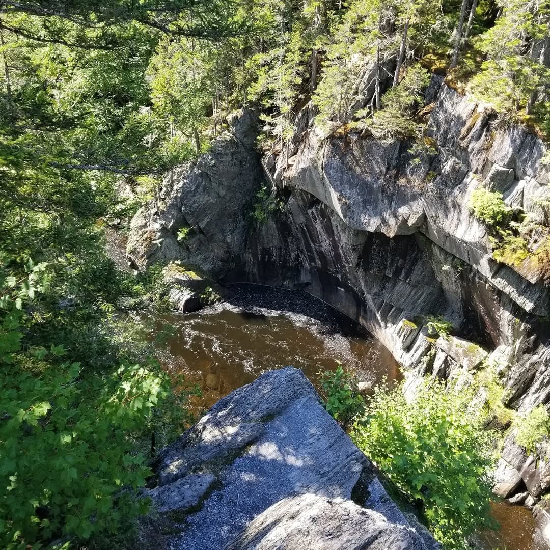
Hammond Street Pitch is a narrow stretch where the river squeezes between towering rock walls, speeding up and deepening as it goes. The water churns and surges through this stone corridor, and it’s the highest drop on the trail. You’ll be looking 100 feet down and get a great understanding of how the water slowly and deliberating carved this canyon.
The Jaws
The Jaws earned its name during Maine’s logging era, when massive log drives barreled down the Pleasant River. This narrow choke point acted like a natural trap, jamming logs together so tightly they resembled giant wooden teeth. While the original log jam spot was just eight feet wide, blasting helped move the logs along, but it’s still a tight squeeze.
Indian Head Rock
Indian Head Rock is a massive stone formation that resembles a human profile when viewed from the right angle. It’s an easy-to-miss feature unless you know to look for it, which makes spotting it part of the fun. This natural landmark adds a touch of curiosity and storytelling to an already dramatic stretch of trail between the upper and main Jaws.
Head of Gulf
The Head of Gulf marks the upstream entrance to the gorge, where the Pleasant River widens, slows, and briefly catches its breath before plunging into chaos. It’s a popular swimming and resting spot, with broad rock ledges, calmer pools, and easier access than most areas along the trail.
Keep in mind that if you choose the Head of Gulf trail approach, you’ll see these locations in reverse.
Gulf Hagas Hike: Mile by Mile
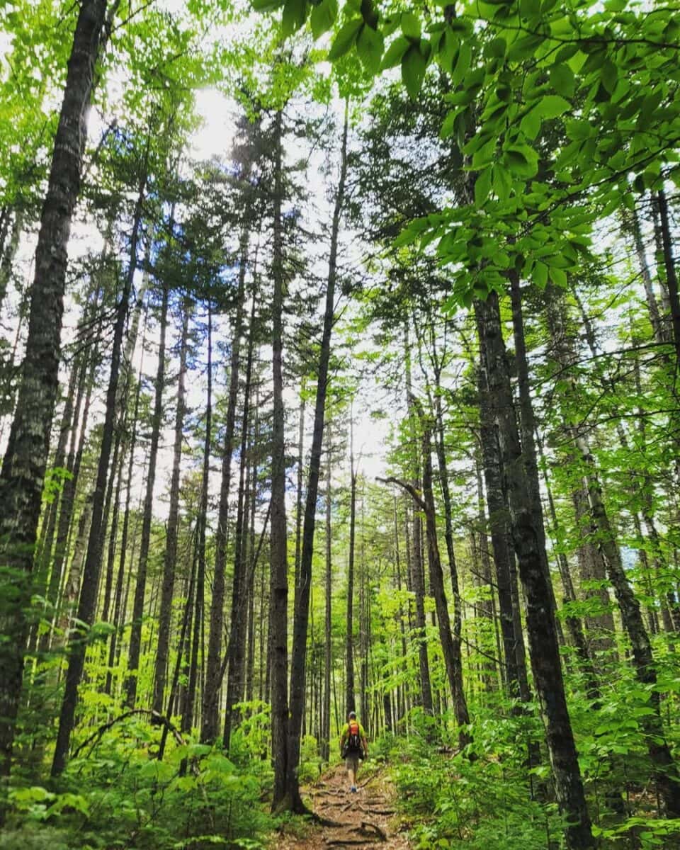
Now that we know what to look for along the way, let’s take it mile by mile, hiking the Gulf Hagas Trail from the Lower Trailhead. Keep in mind, this is a general summary and should not be used as a roadmap to take the hike. Maps are available when you pay the gate fee.
Mile 0: Over the River and Through the Woods
You’ll start on the Appalachian Trail as it weaves through the old growth of The Hermitage. This is where you’ll cross a 150-foot-wide section on the West Branch of the Pleasant River. Even in ideal conditions, expect the water to be up to knee-high. Do not attempt if it’s any higher.
About a mile in, you’ll leave the AT and start the Gulf Trail in earnest. You’ll cross Gulf Hagas Brook here, but it’s not nearly as wide as the previous crossing. Look for the bronze plaque affixed to a boulder, designating this stunning scenery as a National Natural Landmark.
Mile 1: First Waterfall & Pitch Perfect
Shortly after reaching the one-mile mark, you’ll get rewarded with your first named waterfall. Enjoy the view of Screw Auger Falls, and look for the side trail that takes you to another unnamed cascade. Some people treat this as a turnaround point if the rest of the strenuous trail seems undoable.
About 1.7 miles in, you’ll reach the spur trail to Hammond Street Pitch. Again, as the deepest point hikers can access on Gulf Hagas, this is a must-see!
Mile 2: The Jaws of Gulf Hagas Life
As you go through the third mile of hiking, the canyon starts to narrow, and that means just one thing — The Jaws are coming (cue the music)! Side trail signs will point you to the Lower Jaws and Main Jaws. Look for Indian Head Rock at the Lower Jaws vantage point.
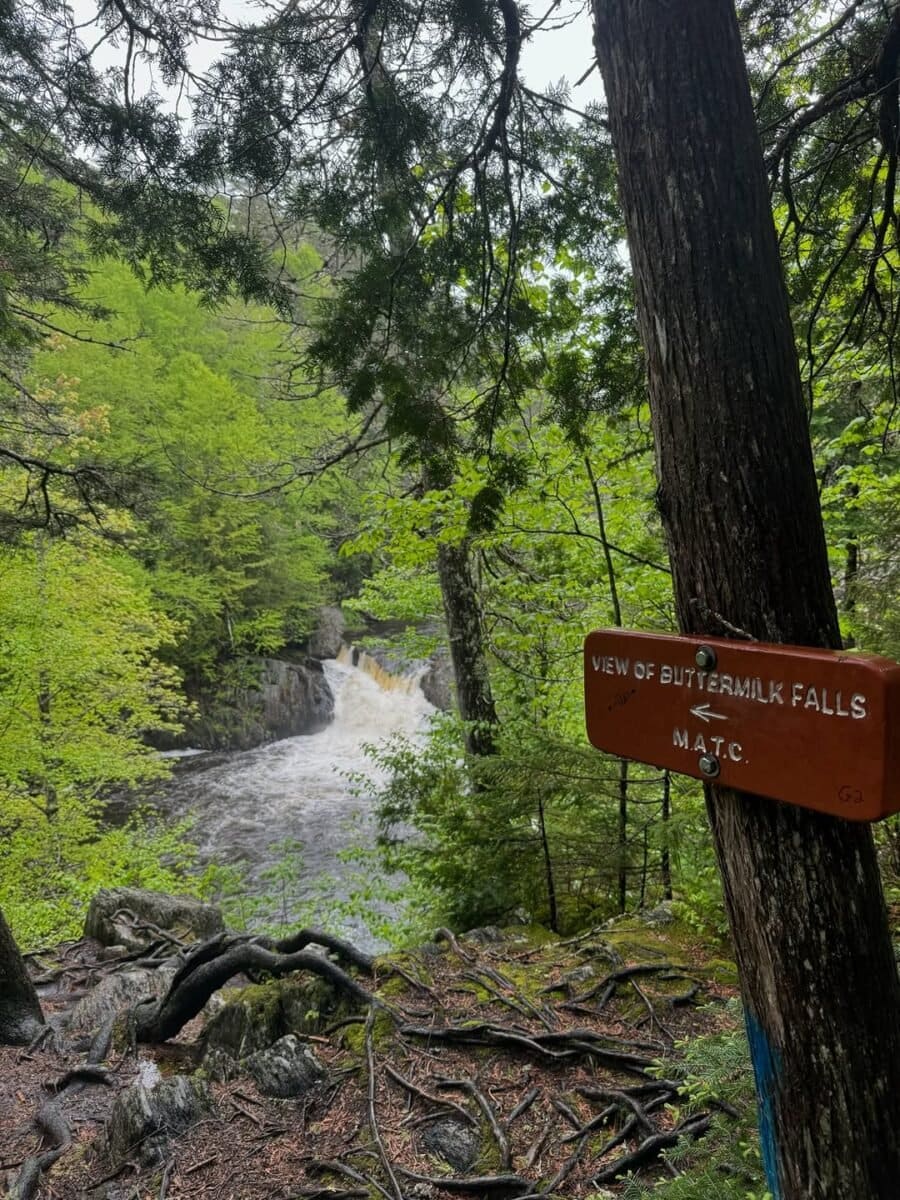
Past The Jaws, it’s less than 0.3 miles to the side trail that leads to Buttermilk Falls.
Mile 3: Two Waterfalls and a Turnaround
In the third mile, the trail quickly leads to a riverbank section where you can enjoy a calmer section of water. Keep going about a half mile to reach the upstream view of Billings Falls, and a few minutes later, the trail leads to a viewing platform above the falls.
You didn’t come this far to only come this far, so walk a few more minutes to Stairs Falls. Just shy of the four-mile mark, the Head of Gulf awaits. You just finished the Gulf Hagas Rim Trail!
Miles 4 – 8: The Gulf Hagas Return Hike
You don’t have to come back the way you came, and your calves will likely thank you if you choose to take the Pleasant River Tote Road, which connects to the trail at Gulf Hagas Brook again. You’ll be back on the AT and less than two miles from your car.
You should know that the Pleasant River Tote Road was once used to bring tourists in wagons back in the 1800s.
What All Gulf Hagas Hikers and Waterfall Seekers Need to Know
Tackling Gulf Hagas is a bucket-list-worthy adventure, but it comes with some important safety and conservation tips.
- Leave No Trace: Carry out all trash.
- When Nature Calls: Human waste should be put in a cathole six to eight inches deep, at least 200 feet from the water and 50 feet off the trail.
- Bring Water: River water isn’t safe to drink. Bring bottled water with you, at least a gallon per person.
- No Camping: While there are campsites near the trail, you can’t camp or stay overnight in Gulf Hagas.
- Wear Sturdy Shoes: Sandals, flip-flops, and sneakers aren’t going to cut it. You need hiking boots that support your ankles. Some opt to bring water shoes for the crossing.
- Slippery Rocks: Assume any rock is as slippery as ice. Do not attempt to climb waterfalls. Use caution at rocky ledges.
- Those Darn Flies: While many want to hike Gulf Hagas in the mild summers, you should know that black flies are abundant from May through July. You’ll want to wear mosquito netting to cover your head, or you’ll be miserable.
- Tick Check: Do a full body scan once you’re done and remove any attached ticks.
- Moose Mania: There will probably be more moose than people along the path, but give them space. If you’re close enough that they notice you, you’re too close.
- Logging Trucks Right of Way: When driving on logging roads before or after your hike, those big logging trucks have the right of way. Pull solidly off the road to let them pass.
- Winter Woes: The Gulf Hagas experience is otherworldly in winter, but the snow and ice make every step delicate. I just got done reading an article about a man who slipped to his death in 2003.
- Dog Dangers: While dogs are allowed on this trail, we don’t recommend it. The steep drops and raging water can spell danger to a curious dog. If you do bring your pet, keep them on a leash and carry out their waste.
Following these safety steps and conservation guidelines will help you enjoy the trip safely while keeping it safe for those yet to come.
The Legend of the Gulf
Speaking of dogs, there’s a legendary story told from within these canyon walls. The story goes that a poet named Simon Garew hiked here every year with his trusty dog. A fall storm caused the waters of the Pleasant River Western Branch to be anything but pleasant. He was never seen again, and his dog spent the rest of his life wandering the wilderness, looking for his best friend.
More to See Near Gulf Hagas
While you’re in the region, explore Katahdin Iron Works, where rusting blast furnaces, stone foundations, and forest-reclaimed ruins tell the story of Maine’s 19th-century iron industry and the short-lived company town that once thrived in this remote wilderness.
To take a hike in history, drive about 25 miles and take the trail to a B-52 crash site on Elephant Mountain. The plane went down in rough winter weather back in 1963. Seven of the nine men onboard didn’t survive. Remains of the crash are still there with a memorial.
We also recommend staying a night or two in Greenville and exploring the Moosehead Lake region. If you’re looking for more adventure, Maine’s highest peak isn’t too far away. Mount Katahdin is in Baxter State Park.
It’s also worth noting that much of this is ideal for astrotourism, as it’s a designated International Dark Sky Park in Maine’s 100 Mile Wilderness and Katahdin Woods & Waters National Monument.
Finally, I’m sure you’re wondering how Gulf Hagas got its name. Nobody knows. It’s one of the many secrets the Maine wilderness will never tell.