
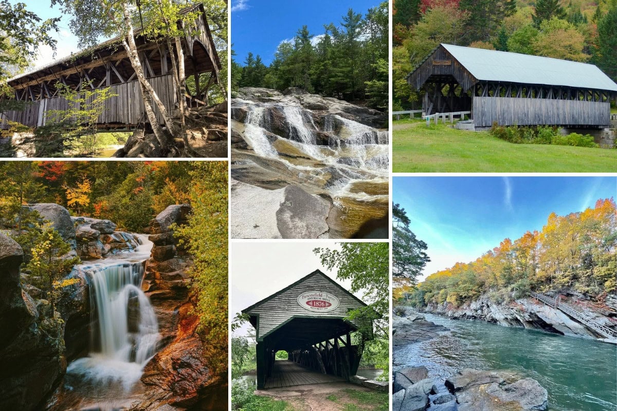
Love Waterfalls? Love Covered Bridges? This Maine Road Trip Delivers Both.
Would you like to save this full guide?
If you’re looking for a Maine road trip that takes you over the rivers and through the (Maine) woods (and mountains), we’ve got a doozy for you. Instead of choosing from a Maine waterfall road trip or a search to find covered bridges, we’ve wrapped them together in this Maine waterfalls and covered bridges road trip!
We’ll start in Portland and head to the Lakes & Mountains Region, before crossing into the Kennebec Valley and the Maine Highlands. Go as far as you’d like on this Maine waterfalls and covered bridges road trip.
Presumpscot Falls | Falmouth
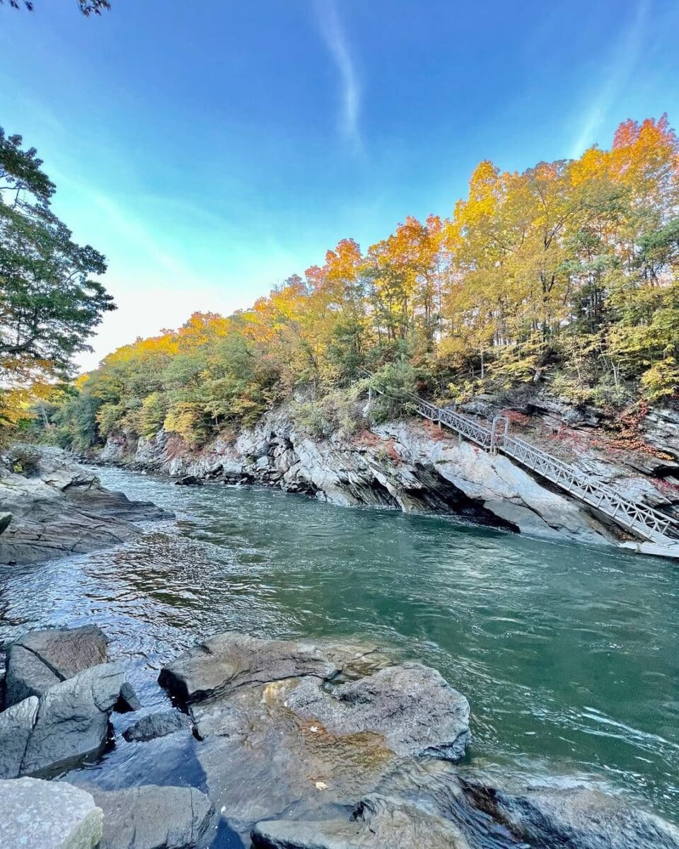
An easy first stop is Presumpscot Falls in Falmouth, located in the Presumpscot River Preserve. The hike is short but can be challenging in spots, and signs will guide you to the overlook of the falls. This was the site of a former dam, with a drop of around 35 feet.
Anglers will love this fishing hole! The Presumpscot River is also a popular kayaking spot, but there’s a portage if you want to skip riding the falls.
Babb’s Covered Bridge | Gorham
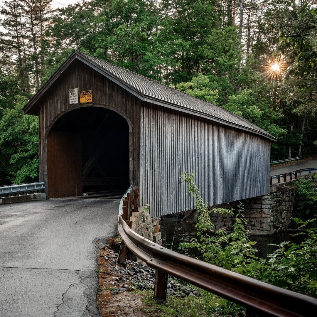
From Falmouth, head toward Sebago Lake. The bridge is located off Hurricane Road, just west of River Road. The bridge was originally built in 1840, but fire destroyed it in 1973. The community rallied to rebuild a replica of the bridge in 1976.
This bridge has been plagued by bad luck, notably being hit often by vandals. Then, in August 2025, a truck way too heavy for the bridge fell right through the bottom. The bridge reopened in February 2025 and is still used for its original purpose — to connect Gorham and Windham. Given how much TLC the community puts into this bridge, it’s worth the trip and photo op!
Parsonfield-Porter Covered Bridge | Parsonfield
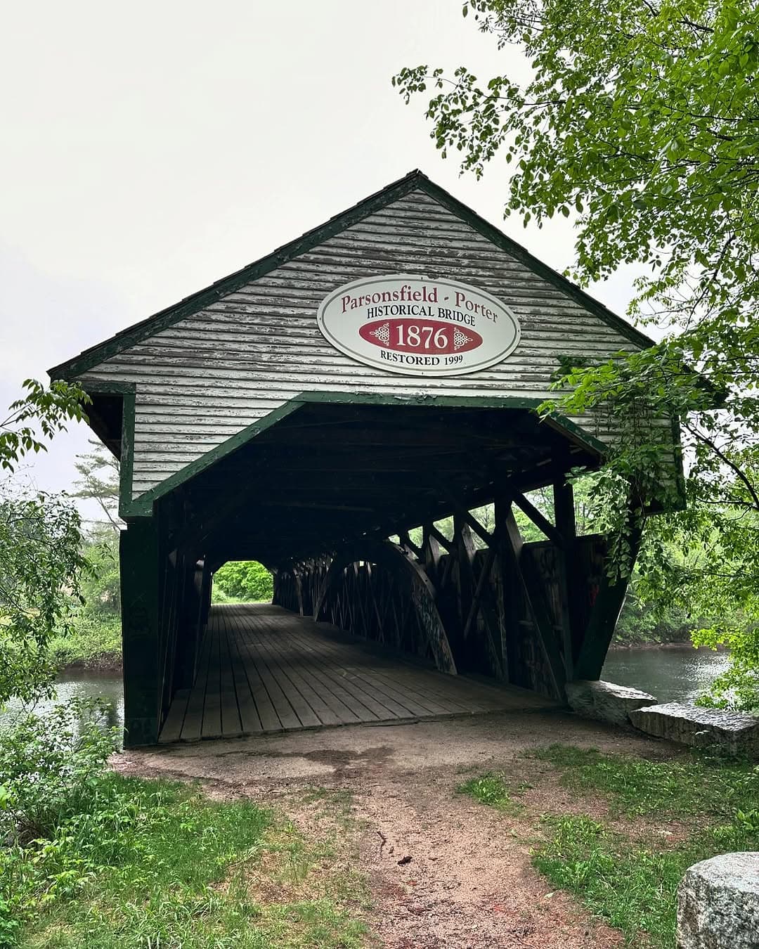
Depending on which side you’re on, this is either the Parsonfield-Porter Bridge or the Porter-Parsonfield Bridge. Either way, you’ll still get to walk the 152-foot-long bridge that has been closed to traffic since 1960.
Why the name discrepancy? In 1859, leaders from both Porter and Parsonfield were bickering over which town would pay to build and maintain the bridge. Eventually, they agreed to each build it halfway. You can see the old bridge where State Route 160 crosses over the Ossippee River. To reach the bridge, turn off on Kezar Mountain Road.
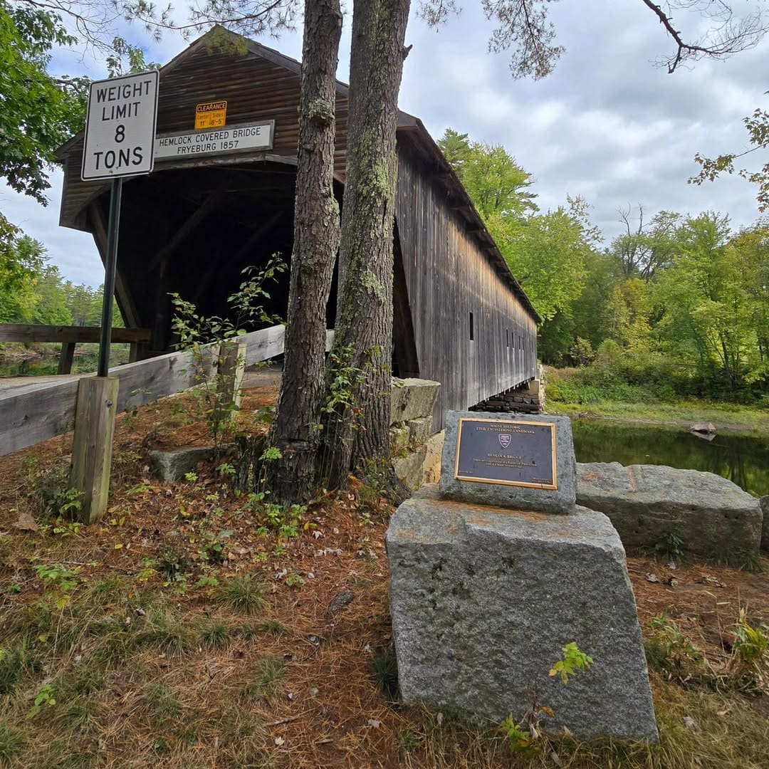
Hemlock Covered Bridge | Fryeburg
A plaque at the Hemlock Covered Bridge in Fryeburg explains that it’s a Maine Historic Civil Engineering Landmark, and is the “Oldest surviving example of a Paddleford Truss system used in a covered bridge in Maine.” The bridge dates back to 1857 and was strengthened for local traffic in 1988.
Hemlock Bridge was one of more than half a dozen covered bridges initially built around Freyburg. However, it’s the last one standing today. The bridge crosses over an old stretch of the Saco River, near “King of Horror” Stephen King’s summertime home of Lovell.
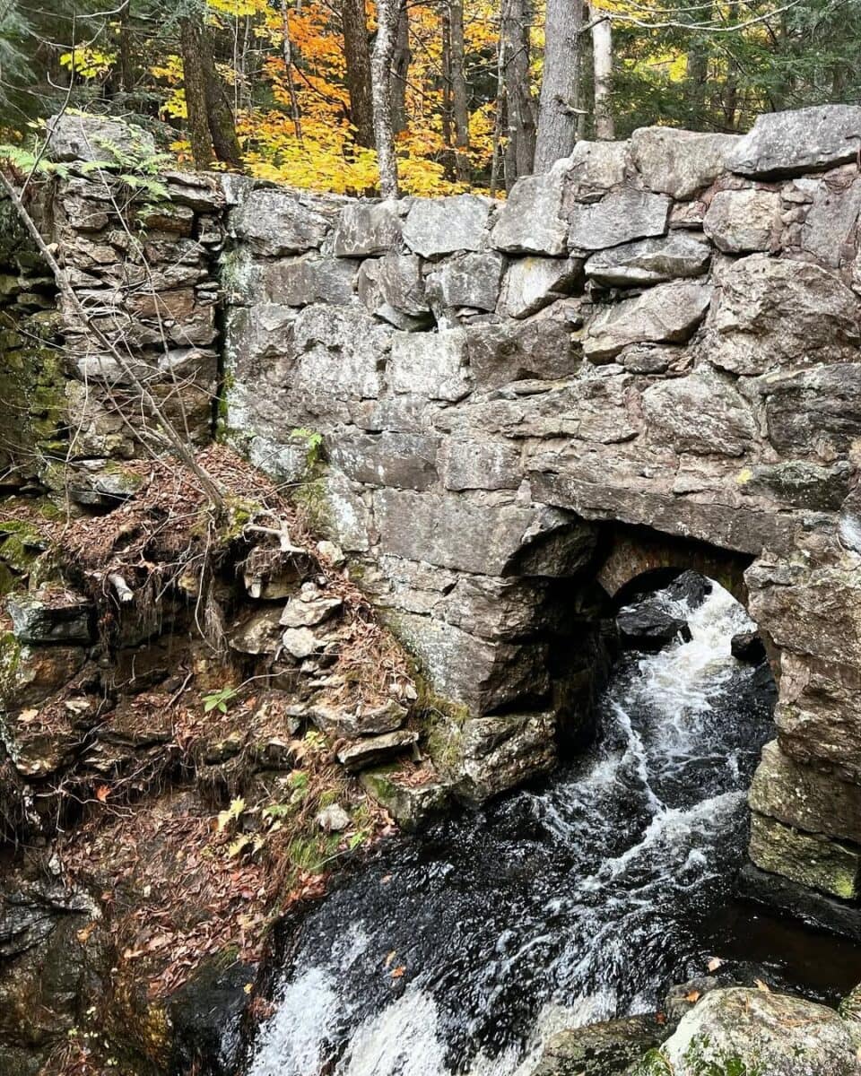
Snow Falls | West Paris
Our next stop on the Maine waterfalls and covered bridges road trip takes us roadside near the Little Angroscoggin River, where Snow Falls plunges and cascades down 25 feet.
The river narrows here, creating a gorge of rushing water. Trails lead to a footbridge over the falls. Don’t try to go swimming; the water is too dangerous. Enjoy the picnic area and the scenic sites at this stop right off Bethel Road.
You might think the waterfalls gets its name from the snow runoff, but it’s actually named after Captain Snow, who sacrificed his life here during an attack by the natives in the 1800s.
“Captain Snow, who was aware of the horrible sufferings to which they doomed their prisoners, replied that he never would surrender himself alive ; that it was better to perish there than at the stake.”
— 1824 Oxford Observer, as written by Elijah Hamlin
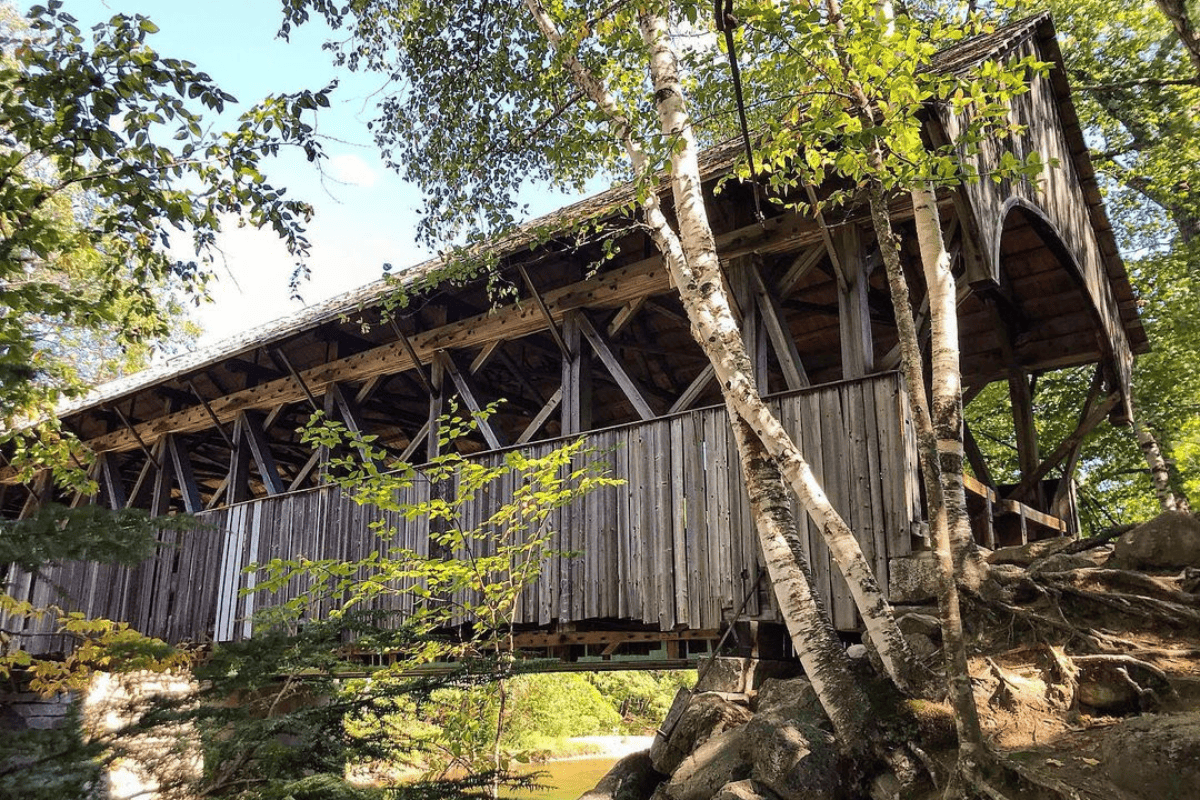
Sunday River Covered Bridge | Newry
More commonly known as Artists Bridge, this popular spot in Newry is for more than just photo ops; weddings and other ceremonies are allowed here. This roadside bridge, just off Sunday River Road, spans 87 feet and was opened in 1872. Less than 60 years later, a flood destroyed it, but a new bridge was up by 1872.
A new bridge over Sunday River Road was built in 1957, but the old bridge — nicknamed Artist’s Bridge for being one of the most photographed in the state — remains today.
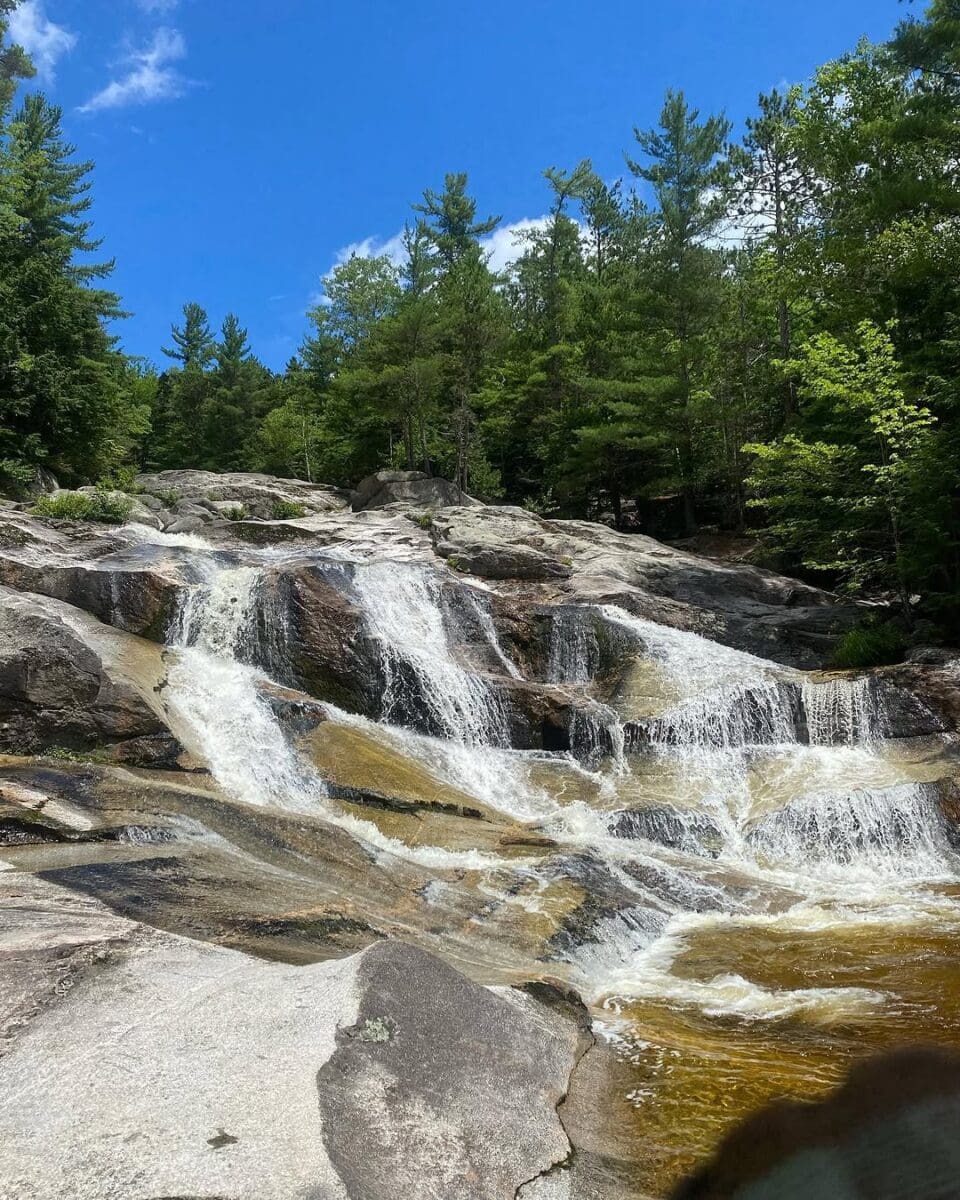
Step Falls | Newry
Now our Maine waterfalls and covered bridges road trip takes us toward Grafton Notch State Park, where you can get a couple of waterfalls close together. The first is Step Falls, named for the tiers it takes to drop 250 feet over about a half-mile hike, which is part of the Mahoosuc Land Trust.
The path to the top includes several swimming holes along the way. The last section to the top of the falls is the most challenging.
Screw Auger Falls | Newry
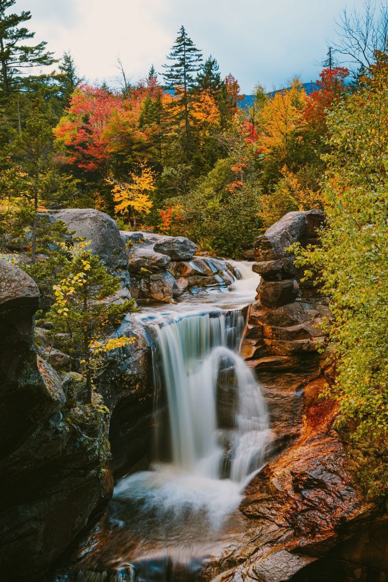
You might notice there are a handful of Screw Auger Falls in Maine, but this one is the roadside natural attraction in Grafton Notch State Park, just 1.5 miles from Step Falls. A roadside parking area offers great views and some pools to explore, but keep going on the short trail to see deeper sections of the Bear River gorge.
Keep going up the road about a mile to reach Mother Walker Falls, which is formed by a 1,000-foot gorge that drops 98 feet.
Lovejoy Covered Bridge | Andover
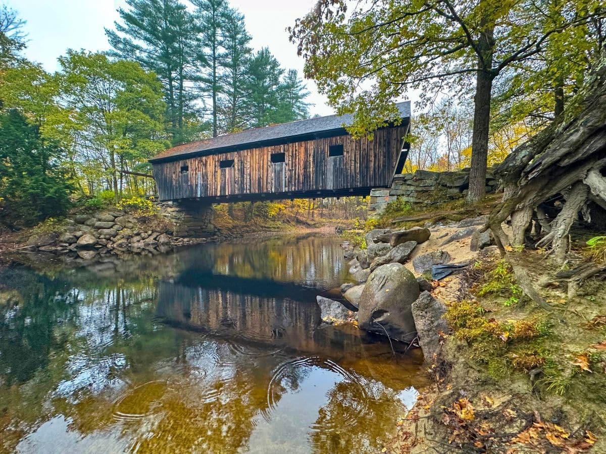
The shortest covered bridge in Maine is in Andover, with a 70-foot-long span over the Ellis River. It’s easy to access from Route 5 and Covered Bridge Road. On warmer days, there’s a small beach area along the river for swimming, wading, or fishing. With the calm water of the river, look for a photo op where you can see the bridge’s reflection in the water below.
 Dunn Falls | photo via cos_sylrie
 Dunn Falls | photo via cos_sylrie
 Dunn Falls | photo via cos_sylrie
Dunn Falls | Andover
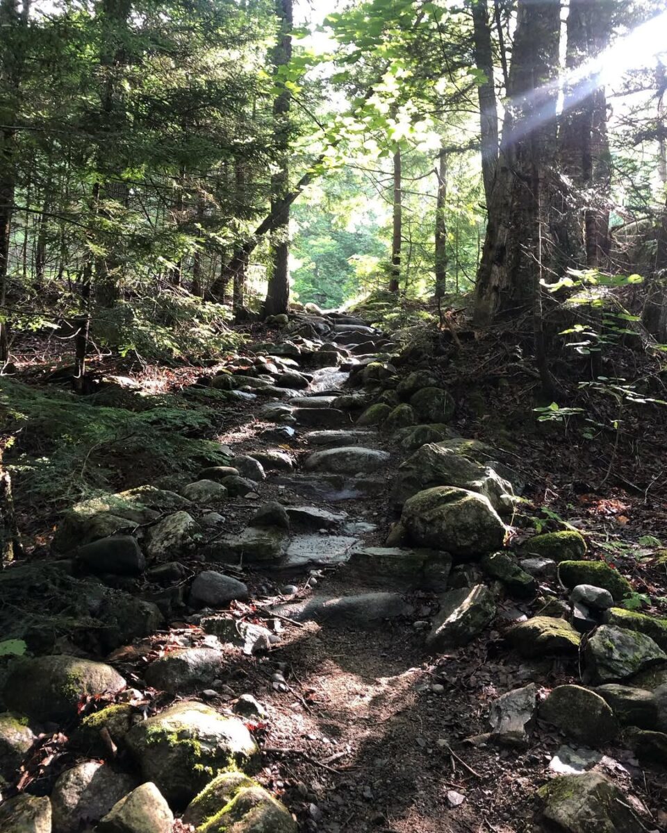
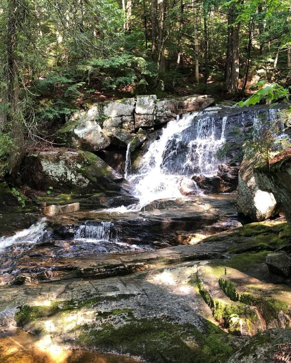
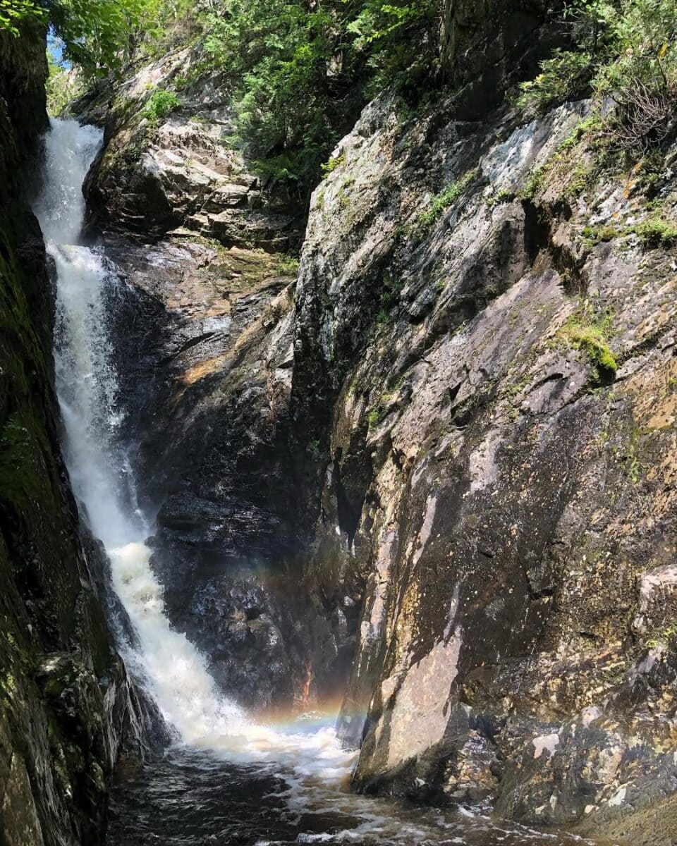
Ready to stretch your legs on this Maine waterfalls and covered bridges road trip? Try the 2.5-mile loop to Upper and Lower Dunn Falls. This also gives you a chance to leave footprints on the Appalachian Trail. You’ll pass swimming holes and smaller cascade sections along the way. Be sure to check the map and trail guidance from the Maine Appalachian Trail Club (MATC) since the route can be confusing for first-time hikers.

Angel Falls | West Central Franklin
Reaching Angel Falls requires about a mile round-trip hike with 200 feet of elevation gain. Be prepared to cross some streams along the way. The hike is worth the effort to see the 90-foot waterfall spread out like angel wings between cliff walls topping 115 feet around you. Fair warning: this hike isn’t for novices, and you won’t have mobile service. Review the trail before you attempt it.

Bennett Bean Covered Bridge | Lincoln Plantation
Closed to traffic, but not tourists, the Bennett Bean Covered Bridge in Lincoln Plantation is close to the New Hampshire border. The 93-foot-long bridge crosses the Magalloway River. The bridge was used mostly for logging after it was built in 1901, but it hasn’t allowed vehicles since 1985.
To get there, turn off of State Route 16 at Littlehal Road, where Aziscoos Valley Campground is located.
Smalls Falls | Madrid Township
Just 12 miles south of Rangeley, Smalls Falls sits at a roadside stop. The 54-foot-high waterfall drops in a series of steps, with swimming holes along the way down. There’s also a wooden bridge over the Sandy River if you want to take in the views from there. The hike to various parts is relatively easy, totalling about half a mile out and back.
The Cascades | Sandy River
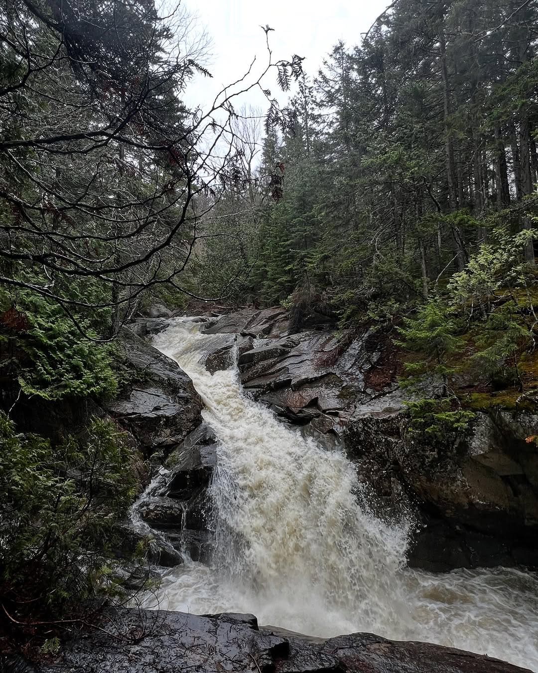
Nine miles up the road, you’ll come to the Cascade Stream Gorge Trail. This one-mile hike is less about seeing one big waterfall and more about enjoying a series of cascades through the gorge of Cascade Stream. Walls reach up to 90 feet at times during this beautiful hike. The middle waterfall is the steepest, falling in a horsetail formation for 18 feet.
Houston Brooke Falls | Bingham
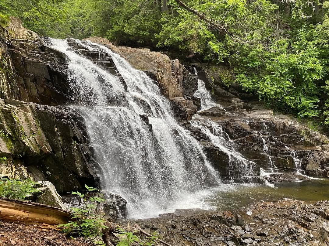
Head to the Old Canada Road National Scenic Byway and take a detour to the other side of Wyman Lake, about a mile east of the Pleasant Ridge Swim Area. Houston Brooke Falls drops more than 30 feet down a large rock wall into a pool below. Swimming? Only if the water levels are low. The hike to the waterfall is just about 10 minutes.

Moxie Falls | West Forks
Keep heading north on the scenic byway (Route 201), and take a right at Lake Moxie Road. You’ll see a sign for Moxie Falls Scenic Area right off the road. Often in a battle with Angel Falls for being the highest in the state, Moxie Falls is worth the two-mile round-trip trek. Don’t let the more remote nature of this Moxie Falls fool you; this is still one of the most popular drops in the state.
Little & Big Wilson Falls | Guilford
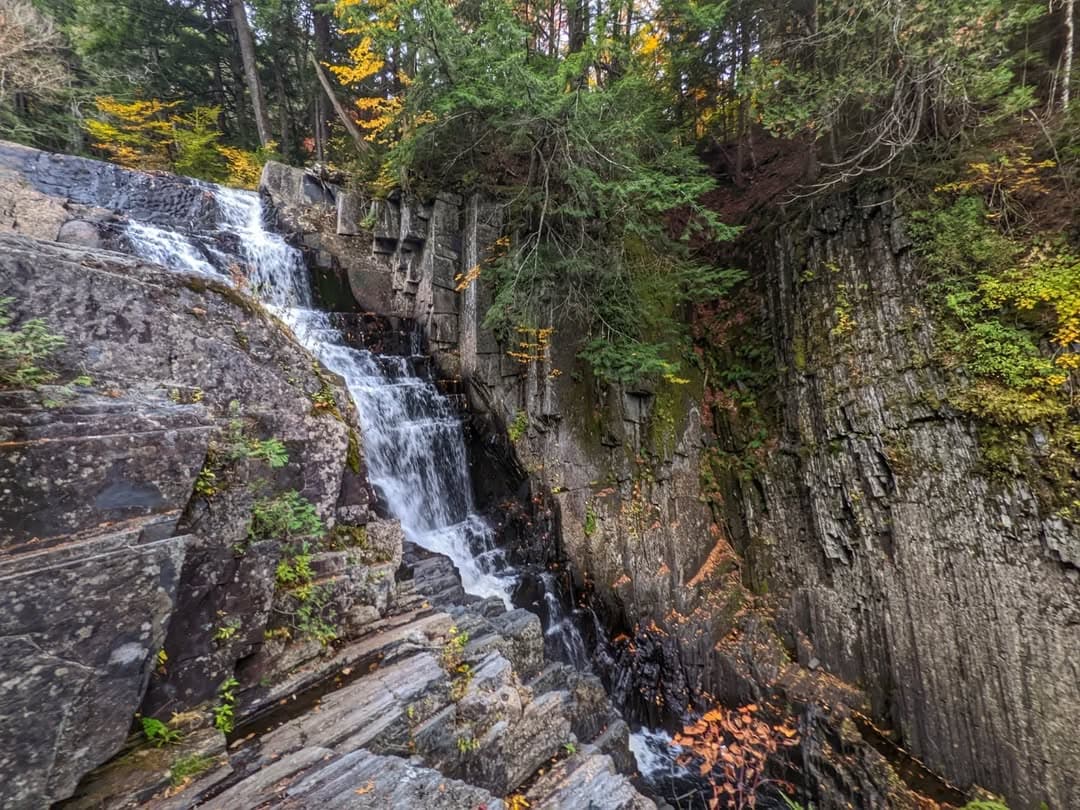
Similar names here, but Little Wilson Falls and Big Wilson Falls are a couple of miles apart. Big Wilson Falls is found between Mountain Road and Little Wilson Falls Road in Guilford. This is a popular swimming hole, with the waterfall spanning 75 feet with a 15-foot drop along the way.
You’ll work a little harder to get to the upper portion of Little Wilson Falls, with about a 2.5-mile out-and-back hike that crosses over the Appalachian Trail. Despite the name, this “little” waterfall is quite big and comes in three sections.
- Lower Falls: 18-foot slide/cascade waterfall
- Middle Falls: 25-foot cascade over 250 feet
- Upper Falls: 40-foot drop over exposed bedrock steps
The lower and middle falls might lure you in for a swim in the dark waters, but don’t try it at the top. The steep gorge and rushing waters below aren’t safe.

Low’s (Lowes) Covered Bridge | Guilford/Sangerville
As we head back toward Bangor on our Maine waterfalls and covered bridges road trip, we find two more bridges along the way.
While many can’t agree on the spelling of Low’s (Lowes) bridge connecting Guilford and Sangerville, they can agree that it’s a landmark. The bridge was built in 1830 and destroyed by floods three times — in 1832, 1857, and 1987. Today, Low’s Bridge stands three feet taller than the last one to overcome flood risks.
It’s named after an early settler, Robert Low, hence the name “Low’s Bridge.” However, the bridge is off of Lowes Bridge Road and State Route 15. You can rebuild a bridge, but not always fix a typo. The official name in the National Register of Historic Places is Low’s Bridge.

Robyville Historic Covered Bridge | Corinth
The sign over the Robyville Historic Covered Bridge states that you’ll get a one-dollar fine if you go faster than a walk over it, guiding a horse or a mule. It’s just one of the charming aspects of this Corinth bridge, the only full shingled one in the state. The bridge spans 73 feet over Kenduskeag Stream, still open to local traffic after being modernly reinforced in 1984.
Looking for More Waterfalls & Covered Bridges in Maine?
One of the most rugged hikes to see waterfalls is at Gulf Hagas in the Maine Highlands, with four named waterfalls on the route. The highest waterfall in Maine is Katahdin Falls, once thought to be more than 800 feet tall, but now believed to be a “measly” 250 feet. While it’s deep in the woods of Baxter State Park, the Hunt Trail will take you by Katahdin Stream Falls, which drops as much as 80 feet. Check with the park rangers about accessing Katahdin Falls since the park has strict rules.
Maine was once home to at least 120 covered bridges, but the list has been whittled down to the eight on this list due to nature, modern traffic, or budgetary reasons. However, Maine encompasses more than 360 waterfalls, with more than 100 of those in Piscataquis County.
This road trip of Maine’s waterfalls and covered bridges proves that Maine always shines in places where water and land meet.